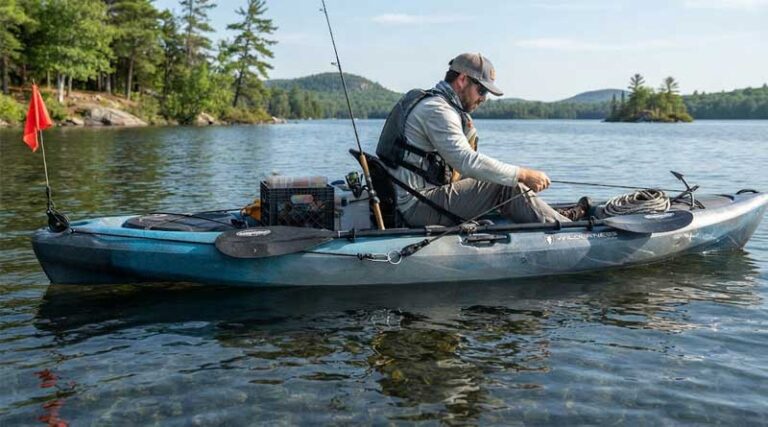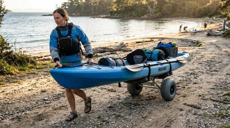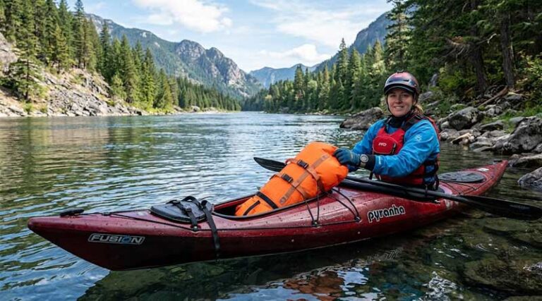
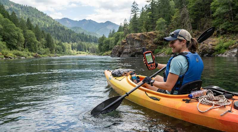
Kayaking offers an incredible way to explore open waters, hidden coves, and winding rivers. However, staying on course and ensuring your safety requires reliable navigation tools. A dedicated marine or handheld GPS is an essential investment for any paddler, providing precise tracking, weather updates, and emergency communication features that standard smartphones simply cannot match on the water. Whether you are navigating dense coastal fog, charting a multi-day wilderness expedition, or simply looking for the best fishing spots, choosing the right GPS guarantees you will always find your way back to shore safely.
1. Garmin eTrex 22x

- Display: 2.2-inch sunlight-readable color screen with 240 x 320 pixels.
- Maps: Preloaded TopoActive maps with routable roads and trails.
- Satellite Support: Dual GPS and GLONASS tracking systems.
- Battery Life: Up to 25 hours using 2 AA batteries.
The Garmin eTrex 22x is a compact and highly reliable handheld navigation device that serves kayakers exceptionally well on the water. Its compact footprint ensures it will not clutter your deck space, while the durable construction handles rough environments with ease. The vivid color display remains crisp and perfectly readable even under direct, harsh sunlight, eliminating any squinting while paddling.
With its dual-satellite support, this unit locks onto coordinates quickly and maintains connectivity even in deep canyons or under heavy tree canopies along riverbanks. The preloaded TopoActive maps make it easy to identify shorelines and terrain features. The generous internal storage paired with a micro SD slot offers plenty of room for extra marine charts.
Pros:
- Excellent sunlight readability
- Long battery life on AA cells
- Preloaded topographic mapping
Cons:
- Lacks a built-in electronic compass
- No wireless connectivity features
2. Garmin inReach Mini 2

- Connectivity: Global Iridium satellite network for two-way messaging.
- Navigation: TracBack routing and digital electronic compass.
- Water Resistance: Certified water-resistant chassis.
- Battery Life: Up to 14 days in 10-minute tracking mode.
The Garmin inReach Mini 2 focuses heavily on safety and communication, making it an indispensable asset for offshore kayakers. This featherlight satellite communicator allows you to send text messages, share your live coordinates via MapShare, and trigger an interactive SOS distress signal from anywhere on earth where cell phones fail completely.
Beyond communication, the device provides reliable navigation safety features. The TracBack routing system guides you step-by-step back to your launch point if weather conditions deteriorate, and the digital compass keeps you oriented even when your kayak is stationary. It pairs seamlessly with mobile apps for expansive mapping capabilities.
Pros:
- Global two-way satellite messaging
- Astonishing multi-week battery endurance
- Ultralight and highly pocketable design
Cons:
- Requires an active paid subscription
- Screen is very small for map viewing
3. Garmin GPSMAP 79sc

- Marine Design: Rugged, IPX6 water-resistant, and completely buoyant.
- Charts: Preloaded BlueChart g3 premium coastal charts.
- Sensors: 3-axis tilt-compensated compass and barometric altimeter.
- Memory: Capacity for 10,000 waypoints and 250 unique routes.
Engineered explicitly for marine environments, the Garmin GPSMAP 79sc is arguably the ultimate companion for open-water kayaking. Its standout feature is its buoyant design; if a rogue wave flips your kayak or you drop the unit overboard, it pops right to the surface for quick retrieval. The fogproof glass ensures total clarity in humid environments.
The device comes loaded with coastal charts, which provide critical depth contours, shoreline details, and navigational aids. The multi-GNSS support ensures rapid positioning by tapping into global satellite webs. With a tilt-compensated compass and barometric altimeter, you can easily track changes in weather and heading while resting on the water.
Pros:
- Floats on water naturally
- Excellent preloaded coastal charts
- Scratch-resistant, fogproof display
Cons:
- Bulkier than standard handheld devices
- Slightly lower battery life in high GPS modes
4. NiesahYan Handheld GPS

- Display: Generous 3.2-inch bright, sunlight-readable screen.
- Precision: Multi-GNSS tracking with accuracy within 6 feet.
- Power: USB-C rechargeable battery offering up to 36 hours.
- Storage: 32 GB internal memory preloaded with USA Topo maps.
The NiesahYan Handheld GPS offers a feature-rich experience with an impressive, oversized 3.2-inch screen. This massive display makes scanning maps and reviewing coordinates significantly easier while balancing in a moving kayak. The physical buttons are deliberately designed to provide tactile response when operating with wet hands or heavy paddling gloves.
Equipped with a robust internal rechargeable battery, it keeps running for up to 36 hours, eliminating the need to pack spare disposable batteries. The extensive 32 GB memory provides plenty of space to store custom tracks, while the high-precision multi-GNSS receiver delivers lightning-fast location locks down to mere feet on the water.
Pros:
- Large, high-visibility screen
- Impressive 36-hour rechargeable battery
- Massive 32 GB storage capacity
Cons:
- IP66 rating is less waterproof than rivals
- Brand is less established in marine spaces
5. Garmin eTrex 32x

- Sensors: Integrated 3-axis compass and barometric altimeter.
- Screen: 2.2-inch color display with 240 x 320 sunlight-readable pixels.
- Mapping: Preloaded TopoActive maps for routable navigation.
- Memory: 8 GB internal space with micro SD expansion slot.
The Garmin eTrex 32x takes the classic, battle-tested design of the eTrex series and upgrades it with premium internal sensors that are vital for serious kayakers. By incorporating a 3-axis electronic compass, this device tells you exactly which way you are facing even when you are drifting completely still on calm or choppy waters.
Its barometric altimeter tracks atmospheric pressure shifts, giving you an early warning system against incoming storms while out on the water. The dual GPS and GLONASS tracking network offers solid connection stability, and the preloaded TopoActive maps effortlessly guide your shoreline exploration. It runs efficiently on two standard AA batteries.
Pros:
- Built-in 3-axis electronic compass
- Barometer helps predict weather shifts
- Reliable dual-satellite tracking
Cons:
- Screen size feels slightly restrictive
- Interface uses a toggle click-stick rather than touch
6. Garmin eTrex SE

- Battery Life: Up to 168 hours standard; 1,800 hours in expedition mode.
- Positioning: Multi-GNSS support including Galileo, BeiDou, and QZSS.
- Smart Features: Wireless connectivity for Active Weather and updates.
- Water Rating: IPX7 waterproof rating for wet conditions.
For kayakers embarking on long-distance touring or multi-day wilderness expeditions, the Garmin eTrex SE is an absolute powerhouse. It redefines battery efficiency by running up to 168 hours continuously on standard mode, meaning you can leave the spare batteries at home for week-long trips. The IPX7 rating ensures it survives heavy splashes.
When paired to your smartphone via the Garmin Explore app, it provides live weather forecasts directly on your water route, helping you avoid sudden downpours or heavy winds. The multi-GNSS array connects to five different satellite systems simultaneously, guaranteeing unmatched tracking accuracy no matter how remote your paddling destination is.
Pros:
- Unrivaled, industry-leading battery life
- Live weather updates via smartphone link
- Multi-GNSS offers exceptional coverage
Cons:
- High-contrast screen is monochrome, not color
- Does not include preloaded detailed maps
7. Garmin Striker 4

- Sonar Technology: CHIRP sonar and ClearVu scanning capabilities.
- Interface: Keyed button system with a 3.5-inch diagonal display.
- Navigation: High-sensitivity GPS waypoint mapping interface.
- Water Rating: IPX7 water protection for marine use.
The Garmin Striker 4 is tailor-made for kayak anglers who want to merge precise navigation with high-tech fish-finding capabilities. This mountable unit uses advanced CHIRP sonar technology to send continuous sweeps of frequencies into the water, creating crisp fish arches and clear structure definitions directly underneath your kayak hull.
Its built-in GPS allows you to mark hot fishing spots, docks, and boat ramps on a simplified waypoint map, making it incredibly straightforward to navigate back to productive waters later. It requires an external 12-volt power source, but its specialized marine features make it a premier choice for dedicated paddlers.
Pros:
- Premium sonar imaging reveals underwater structure
- Easy-to-use dedicated keyed interface
- Allows marking of precise fishing waypoints
Cons:
- Requires an external 12V battery setup
- No traditional topological mapping display
8. Garmin GPSMAP 65s

- Technology: Multi-band frequency and expanded GNSS tracking.
- Display: 2.6-inch vibrant, sunlight-readable color screen.
- Sensors: 3-axis compass combined with a barometric altimeter.
- Maps: Preloaded TopoActive mapping and public land boundaries.
If you regularly paddle down narrow, tree-lined creeks or deep river canyons, the Garmin GPSMAP 65s provides the elite tracking performance you need. By utilizing multi-band technology, this device processes multiple signals from each satellite constellation, yielding unmatched accuracy in locations where standard GPS devices experience signal dropouts.
The 2.6-inch color screen offers a spacious layout for checking preloaded TopoActive maps. It also features public land boundaries, which is incredibly useful for finding legal primitive camping sites along the shoreline. The quad-helix antenna provides exceptional signal reception while resting securely in your kayak track mount.
Pros:
- Multi-band frequency provides pinpoint accuracy
- Vibrant, easily readable color screen
- Includes public land map data
Cons:
- Higher price point than basic models
- Slightly heavier button-operated chassis design
How to Choose the Best GPS for Kayaking
Selecting the ideal navigation device for kayaking requires balancing several unique factors. Unlike hiking or driving, kayaking exposes electronic devices to moisture, direct sunlight glare, and remote areas with zero cellular reception. Understanding your paddling style and matching it with the correct device features ensures your safety and improves your on-water enjoyment.
Understanding Key Features for Marine Environments
Kayaking presents a demanding set of environmental challenges. Before looking at mapping or smart features, you must evaluate how a device handles the physical reality of being on the water. A device that works perfectly on a hiking trail might fail completely if it gets splashed by saltwater or dropped into a lake.
Waterproofing and Buoyancy
The single most important technical aspect of any kayak electronics setup is water resistance. Devices are rated using the Ingress Protection system. An IPX7 rating means the unit can handle accidental submersion in up to one meter of water for thirty minutes, which is generally standard for quality marine electronics. However, buoyancy is another critical factor. While many units are waterproof, they will sink like a stone if dropped into deep water. Devices specifically engineered to float, like the Garmin GPSMAP 79sc, save you from losing an expensive tool over the side of your kayak.
Screen Visibility and Ergonomics
Water reflects sunlight, creating intense glare that can render low-quality screens completely unreadable. Look for displays explicitly labeled as sunlight-readable. High-contrast transflective color screens or high-resolution monochrome displays work best on open water. Ergonomics also matter; while touchscreens are convenient on land, they often misfire or become completely unresponsive when wet. Tactile physical buttons are vastly superior for kayaking because they let you navigate menus reliably with wet hands or heavy neoprene paddling gloves.
Comparing Navigation and Satellite Systems
Modern handheld navigators tap into vast networks of global satellites. Having a basic understanding of how these tracking networks function can help you choose the correct device for your typical paddling locations.
| Satellite System | Primary Benefit | Best Use Case |
|---|---|---|
| Standard GPS | Universal worldwide coverage | Open water, wide rivers, lakes |
| Multi-GNSS (GLONASS, Galileo) | Faster signal acquisition | Remote wilderness, varied terrain |
| Multi-Band (Dual-Frequency) | Pinpoint accuracy through obstacles | Narrow creeks, forested riverbanks, canyons |
| Iridium Satellite Network | Two-way global communication | Offshore ocean paddling, extreme expeditions |
For standard flatwater paddling on lakes or wide bays, a basic GPS and GLONASS setup will serve you perfectly. However, if your adventures take you deep into coastal mangrove forests, narrow swamp channels, or mountainous river valleys, upgrading to a multi-band frequency device like the GPSMAP 65s prevents frustrating signal loss.
Mapping Capabilities and Specialized Needs
Different kayaking activities require entirely different mapping styles. A kayak fisherman requires drastically different data than a coastal touring paddler or a weekend recreational hobbyist.
Topographic Maps vs. Marine Charts
Topographic maps focus heavily on land features, elevation contours, and trails. These are excellent for river kayakers who need to spot portage routes, campsites, or shoreline landmarks. Conversely, marine charts (such as BlueChart g3 coverage) focus on what is happening beneath and immediately along the water surface. They display depth contours, underwater hazards, channels, and buoys. If you plan to paddle on open oceans or large coastal bays, prioritize a unit that supports marine cartography.
Sonar and Fishfinding Features
If your primary goal is tracking down fish, standard mapping might take a backseat to live sonar technology. Systems like the Garmin Striker 4 feature specialized transducers that mount directly onto your kayak hull. These systems give you a clear view of fish arches, weed beds, and drop-offs. The trade-off is that these units require a dedicated 12-volt battery power source and are permanently mounted to the kayak, rather than slipping easily into a life jacket pocket.
Power Management and Emergency Features
When you are far away from the nearest boat ramp, your device’s battery life becomes your lifeline. You must evaluate how long your device lasts and how it handles emergency situations.
- AA Battery Units: Devices like the eTrex series run on standard AA batteries. This is ideal for extended wilderness trips because you can easily pack multiple lightweight spares without worrying about finding an electrical outlet.
- Rechargeable Internal Batteries: Lithium-ion systems charge quickly via USB-C or power banks. They generally offer longer run times on a single charge but require a portable power bank if they die in the backcountry.
- Satellite Communication: If you regularly paddle alone or explore offshore ocean environments, look for units featuring satellite communication capabilities. Having access to global two-way messaging and dedicated SOS buttons ensures that search and rescue teams can find you if you capsize or hit dangerous weather conditions.
Final Recommendations Based on Your Paddling Style
To make your final decision simple, group your needs into your specific style of paddling. If you are a casual weekend warrior who stays close to local lakes and slow rivers, a simple, budget-friendly device like the eTrex 22x gives you all the tools you need without unnecessary complexity. For long-distance touring and camping, focus on extreme battery life and robust tracking, making the eTrex SE a prime option.
Ocean paddlers and coastal explorers should never compromise on safety; look directly at floating marine units with preloaded charts or integrated satellite communicators like the GPSMAP 79sc or the inReach Mini 2. Finally, dedicated anglers should opt for mounted sonar units that help identify underwater structures. By analyzing your environment, power needs, and budget, you can confidently select the perfect GPS configuration to keep your kayaking adventures fun, accurate, and completely safe.